Using GIS to Effectively Communicate Hazard Information to the Public
Snohomish County’s Department of Emergency Management is using GIS technology to inform residents about potential and ongoing hazards. Three tools will be showcased, each designed to make hazards more visible in the local landscape, and more relevant to residents’ daily lives. These tools include a Public Safety Hub, containing hazard-specific webpages with real time weather alerts, evacuation maps, links to authoritative data sources, and more; a Hazard Viewer application that allows residents to search by address for potential natural and human-caused disasters that might occur in their community; and a Megaquake Story Map that helps residents prepare for impacts from a catastrophic earthquake. Each of these products has demonstrated significant public engagement. For example, the wildfire page on the Public Safety Hub was accessed 130,000 times during the first 24 hours of the 2022 Bolt Creek Fire. This presentation will briefly showcase each product and provide helpful information for partners seeking to create similar solutions for communicating critical information in their own communities.
About the Presenters

Drew Schwitters is the Principal GIS Analyst at the Snohomish County Department of Emergency Management. He holds a Master’s degree in GIS from the University of Washington and applies geospatial problem solving to issues ranging from wildlife conservation to public safety. At Snohomish County Drew maintains data used in dispatching 9-1-1 calls, provides data and analyses for emergency management plans, and pilots drones to provide situational awareness at the county Emergency Operations Center.
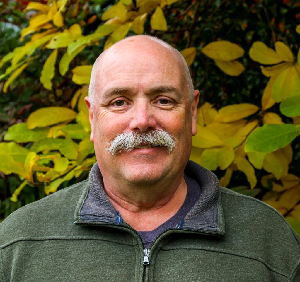
Scott North is the Public Information Officer for the Snohomish County Department of Emergency Management. His storytelling experience includes decades as a former community journalist, where he regularly used GIS and other data tools to discover stories hiding in plain sight. He’s managed the county’s Joint Information Center since 2018, including during activations for COVID, wildfire, flooding, and severe weather events.